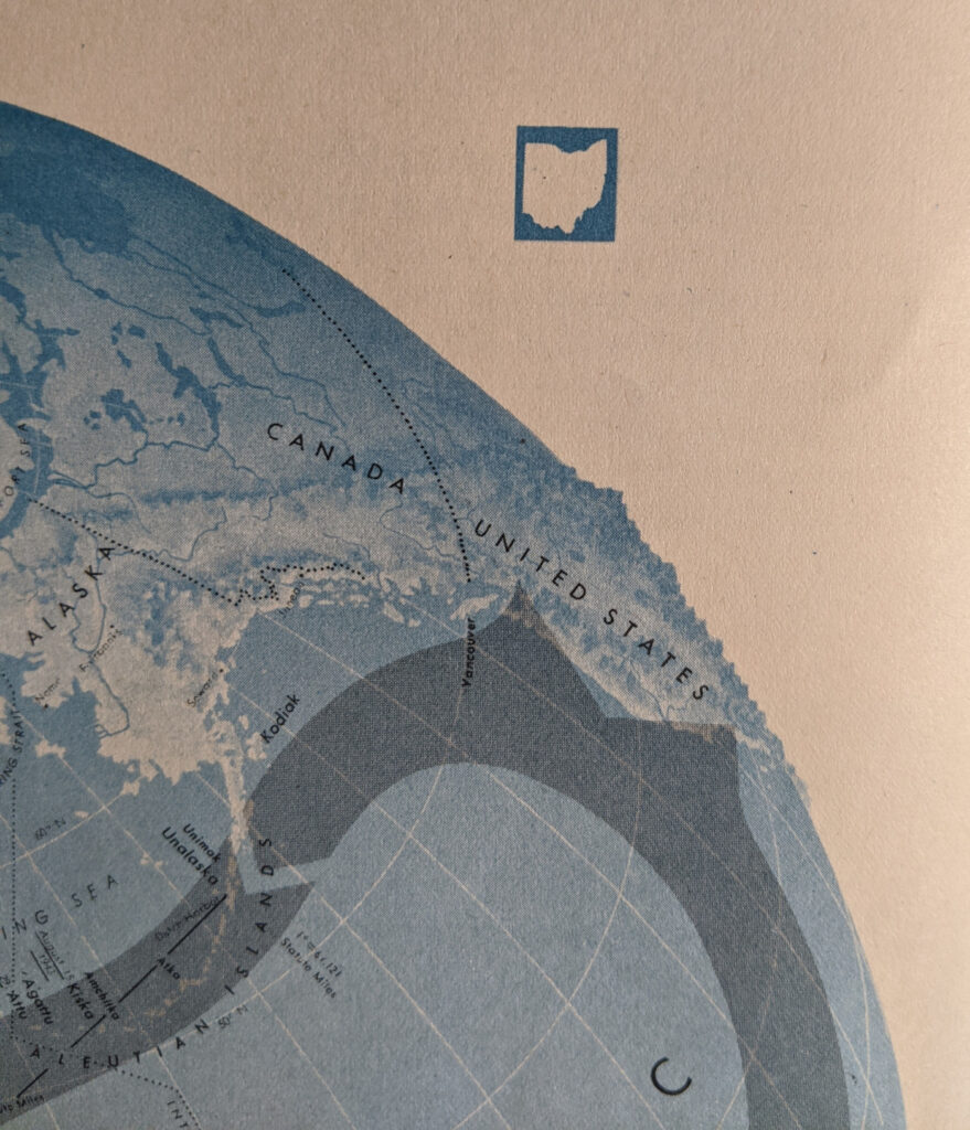
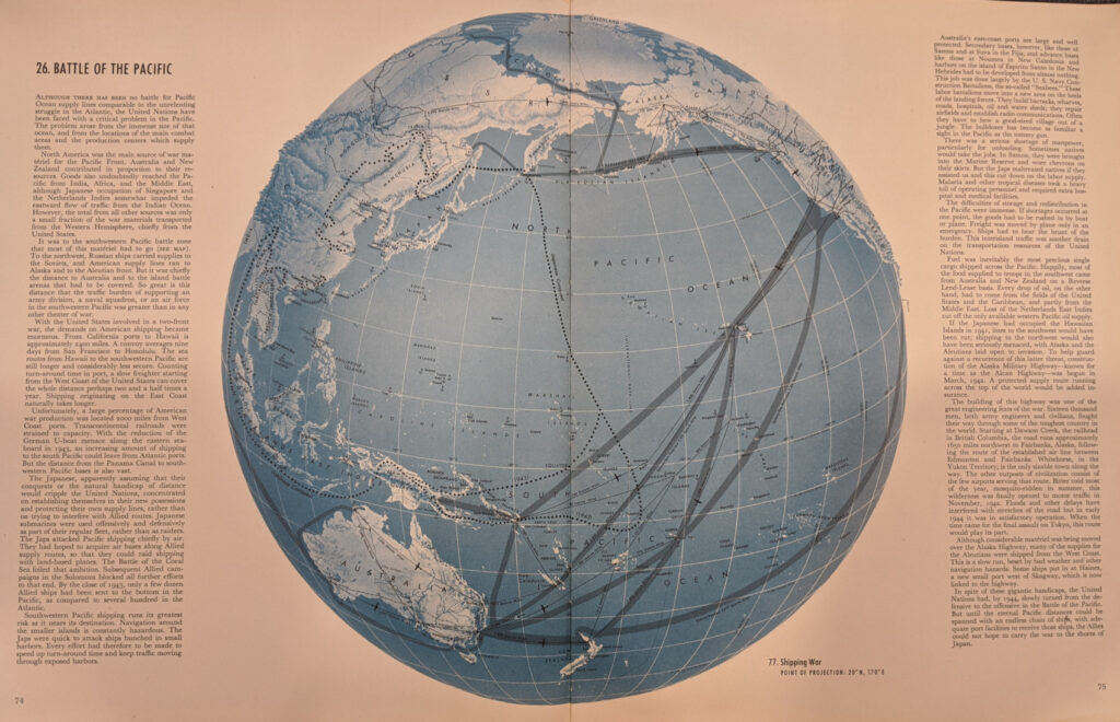
Years ago I purchased a couple copies of The War Atlas for Americans. It is full of interesting wartime maps, including many orthographic views (not surprising that Richard Edes Harrison is listed as a consultant). But an unusual detail caught my eye while comparing two different editions of the atlas. In one of them, a beautiful orthographic view of the vastness of the Pacific has an explained outline of Ohio floating in the upper right corner. I am wondering if this was meant to be a comparative area symbol of the kind I have written about in the work of James Monteith. Such a symbol would only be relevant for a small area of the map with this projection and there are no other indications that it is intended to carry this meaning. But what else could it be? Even stranger is that this stray Ohio appears only in one edition of the atlas– the other edition has no such symbol on the same page. Is it a trademark or an identifier left by on the map’s creators?


